Why are Indian cities never prepared for the monsoon? Among the many seemingly complicated reasons for their troubled relationship with the rains is a rather unglamorous term – drainage system. Ancient and medieval civilisations had their ways of channelling water – the hydrological acumen of the Indus Valley cities is well-known. But in modern times, when the ground is all concrete and tarmac — not the best sponges – city planners rarely take cues from the past, that’s only romanticised politically. The runoff has scarcely any outlet. It accumulates in low-lying areas, inundating roads, underpasses, houses, offices, railway tracks, basements. Urban India, it’s increasingly becoming evident, cannot deal with short but intense spells of rainfall, one of the hallmarks of climate change.
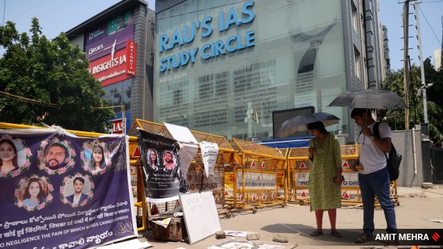
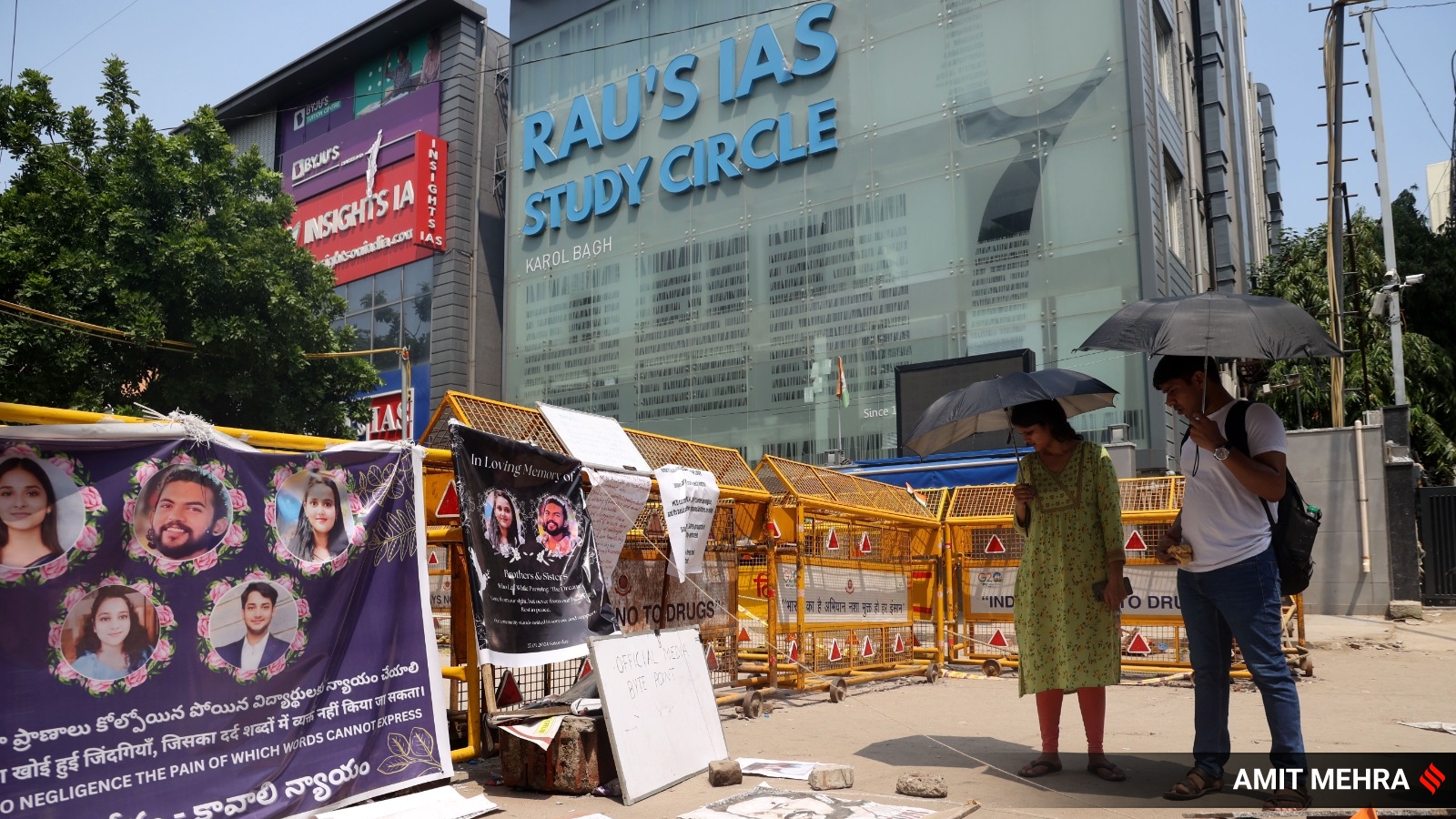
Another increasingly noticeable facet of climate change is hyper-local torrential rainfall. On July 26, Delhi’s ridge area reported 99 mm of rainfall. A day later, when a drain burst resulted in the gruesome tragedy that took three young lives, Pusa – near the site of the fatal incident in Old Rajinder Nagar – recorded 58 mm. The IMD classifies 64 mm as heavy rainfall. Delhi’s nearly 50-year-old drainage system, by all accounts, cannot handle even 50 mm. The already unsafe basement-run coaching centre, as a report in this newspaper has pointed out, ran its business from a saucer-shaped stretch, making it even more prone to severe waterlogging. Last week, 26-year-old UPSC aspirant Nilesh Rai tried to avoid one such waterlogged street, not far from the ill-fated coaching centre. Rai reportedly hopped across a dry patch and held onto the iron gate near his PG’s building to cross the clogged section and within seconds, he was electrocuted – the gate was in contact with an exposed electric wire.
Most of the past cities that make up Delhi were situated on an elevated plane, which allowed them to flush out water. But town planning in the Lutyens and post-Lutyens eras has followed a radial or block pattern. Urban expansion, and infrastructure creation, have rarely followed the natural contours and inclines of the city — these often change every few kilometres — which provides an outlet to the run-off. The Minto underpass, one of the first areas that becomes a receptacle for the rains in Delhi, for instance, is a depression bounded by elevated areas.
The neglect of hydrology has pushed cities with vastly different geological features — Delhi, Mumbai, Bengaluru for instance — towards similar water-related predicaments. Created by flattening hills and “reclaimed” lands from the sea — a project that began in colonial times and continued after Independence — Mumbai, whose climate vulnerabilities have been underlined by several studies, is a mix of low-lying areas and hills. When it rains, the water collects in the city’s central depression. During the monsoons, at least one day, virtually the entire city goes underwater, its lifeline, the railway system stops. The high tides complicate matters. Increasingly, after the disastrous floods of 2005, the city’s trysts with bad-weather days are becoming longer.
Climate change affects everyone. It’s well-known, however, that the brunt of floods, heat waves, and extreme cold is borne by the poor and the lower-middle classes. Infrastructure development in urban India has not done justice to these sections, even though the political class knows the power of their votes. Master plans rarely factor in informal settlements, including slums and dwellings of communities that build cities. The waste from urban underbellies, outside the sewerage network, finds its way to the stormwater drainage system and clogs it. A furious spell of rainfall often means an invasion of murky water into homes in these invisibilised localities, bringing in their wake disease and livelihood disruptions.
The coaching centre – and Nilesh Rai’s – tragedies show the failure of planners and policymakers to make other connections as well. Rajinder Nagar and its neighbourhoods were created as Partition refugee settlements. A socioeconomic map of Delhi would today mark out these areas for middle and upper-middle-class houses, one-room tenements that are rented to students and UPSC aspirants as well as slums.
In pre-modern Delhi, rivulets and small streams once carried fresh water from the Aravallis, and during the monsoons they became stormwater outlets, swiftly draining Delhi dry within a few hours of heavy rainfall. Today, they are either built upon or are ganda nallahs. One such water course, the Jarhallia Nallah in Karol Bagh, a few kilometres from Rajinder Nagar, became one of these ganda nallahs. Today, it has been covered.
If the natural water-flushing systems have been debilitated and destroyed, the modern drainage mechanisms have become victims of neglect. Delhi’s drainage system dates back to 1976, when some of these ganda nallahs were not covered. Mumbai’s drainage network is about 100 years old.
In the wake of the coaching centre tragedy, welcome conversations have begun on regulating commercial buildings, urban infrastructure, and even desilting drains. More needs to be done. Planners need to join the dots between drainage system, hydrology, climate change-induced weather vagaries, and the inevitable pull of cities as centres of upward mobility – and their inequities.
kaushik.dasgupta@expressindia.com


